

 Myanmar, which was formerly Burma, was rocked by a 6.9 magnitude earthquake on Wednesday night, according to the U.S. Geological Survey.
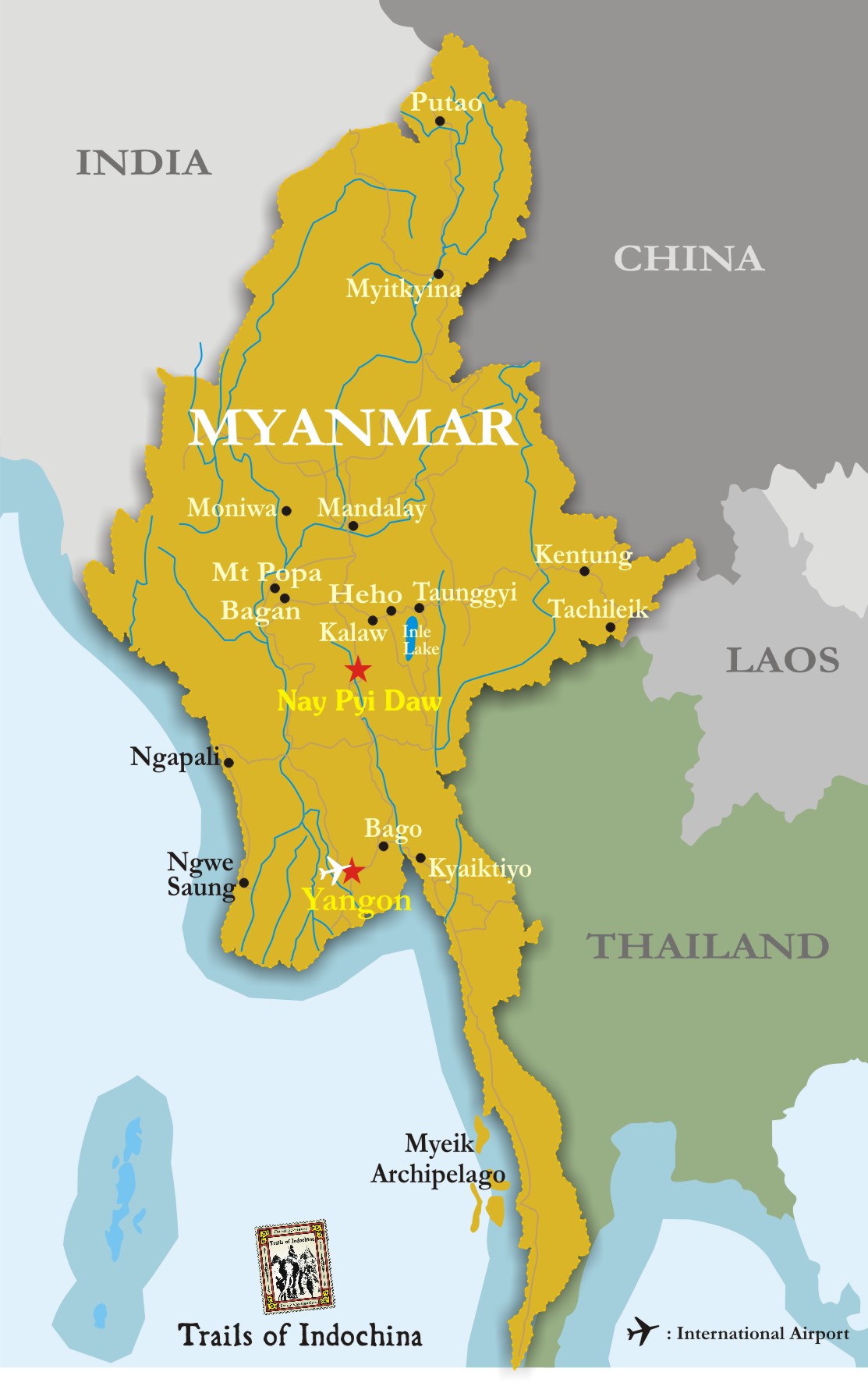
The Southeast Asian nation borders India, Bangladesh, China, Laos and Thailand. USGS reported that the tremor occurred at a depth of 83.7 miles. The epicenter was located 46 miles southeast of Mawlaik and 246 miles north of the capital, Naypyidaw.
The Weather Channel reported that Myanmar's main city of Yangon, with a population of about 6 million, had residents panicking and fleeing from buildings.
USGS states: The April 13, 2016 M 6.9 earthquake southeast of Mawlaik, Burma, occurred as the result of oblique reverse faulting at an intermediate depth, approximately 140 km beneath western Burma.
Earthquakes like this event, with focal depths between 70 and 300 km, are commonly termed "intermediate-depth" earthquakes. Intermediate-depth earthquakes represent deformation within subducted slabs rather than at the shallow plate interface between subducting and overriding tectonic plates. They typically cause less severe shaking on the ground surface directly above their foci than is the case with similar magnitude shallow-focus earthquakes, but large intermediate-depth earthquakes beneath populated regions may nonetheless cause damage and casualties, and they may be felt at great distance from their epicenters.


